We focus our research on Systems for Remote Sensing Image Analysis.
Some of these Systems in development are introduced below.
GOES Early Fire Detection System
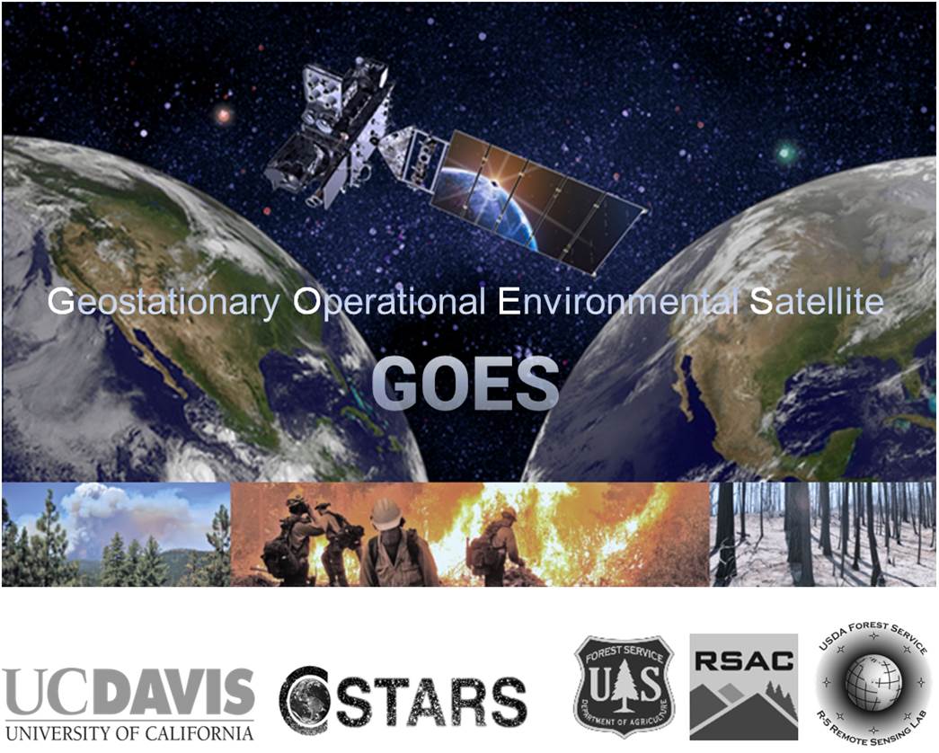
Uncontained wildfires that evolve into catastrophic events represent a major and growing societal and environmental threat in the United States, partly because ignitions are often noticed when it is already too late. For years, first responders, fire managers, and governmental leaders at various levels have been strongly advocating a synoptic, low-cost, and reliable operational capacity for early wildfire detection, but it is still not available. A satellite image analysis system called GOES-EFD (GOES Early Fire Detection) is being developed to detect ignitions sooner using new science-based algorithms and high-temporal imagery from current NOAA Geostationary Operational Environmental Satellites (GOES) and from its upcoming successors, the GOES-R series missions.
GOES-EFD development is an on-going collaborative effort led by
- UC Davis Center for Spatial Technologies and Remote Sensing (CSTARS),
- US Forest Service Remote Sensing Applications Center, and
- US Forest Service Pacific Southwest Region Remote Sensing Lab.
Ecosystem Disturbance and Recovery Tracker
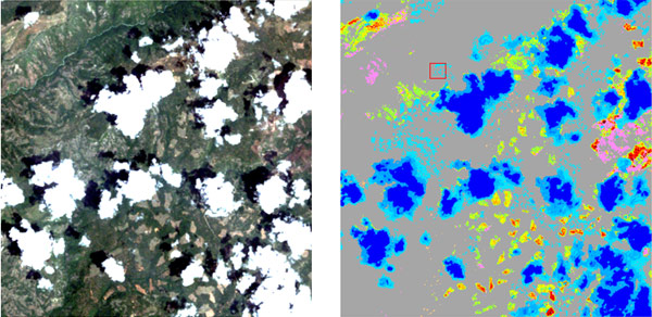
eDaRT is an automated system for satellite image processing, including a suite of advanced algorithms and a software toolbox that detects and categorizes changes in forested, shrubland, and herbaceous ecosystems. Currently, the primary input data source for eDaRT is Landsat imagery. All available Landsat images can be processed, providing frequent and robust monitoring.
A beta version of eDaRT is expanding its operations by the US Forest Service in California and western United States in support of daily ecosystem management tasks. eDaRT is being developed by
- UC Davis Center for Spatial Technologies and Remote Sensing (CSTARS), and
- US Forest Service Pacific Southwest Region Remote Sensing Lab.