August 2016.
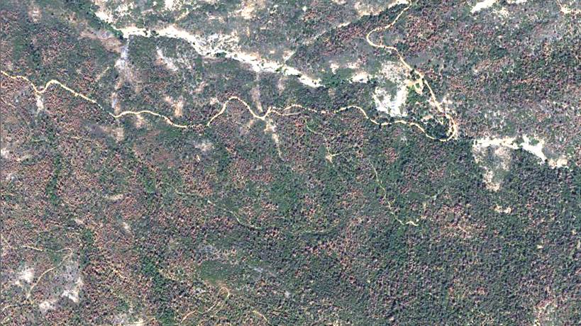
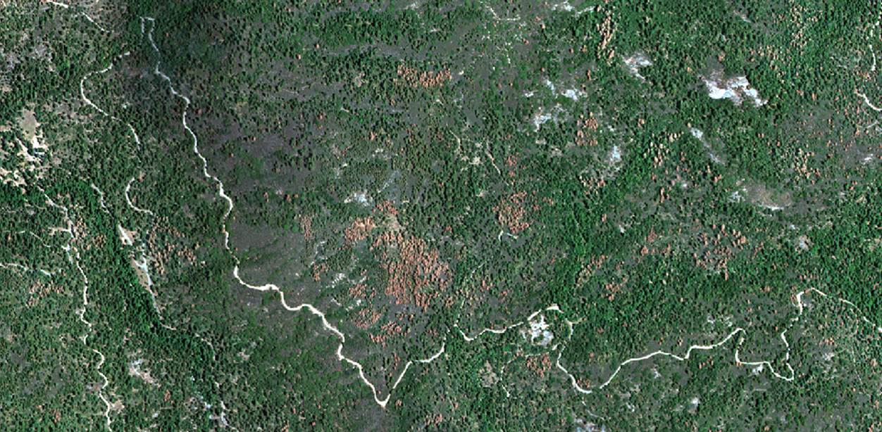
Forest managers, at the regional, state, and national levels need mortality maps updated every 1-2 months, because the situation changes very rapidly in the Southern Sierra. However, currently there is no operational tool to map forest disturbance in the region so frequently — and at the same time — reliably and at low cost.
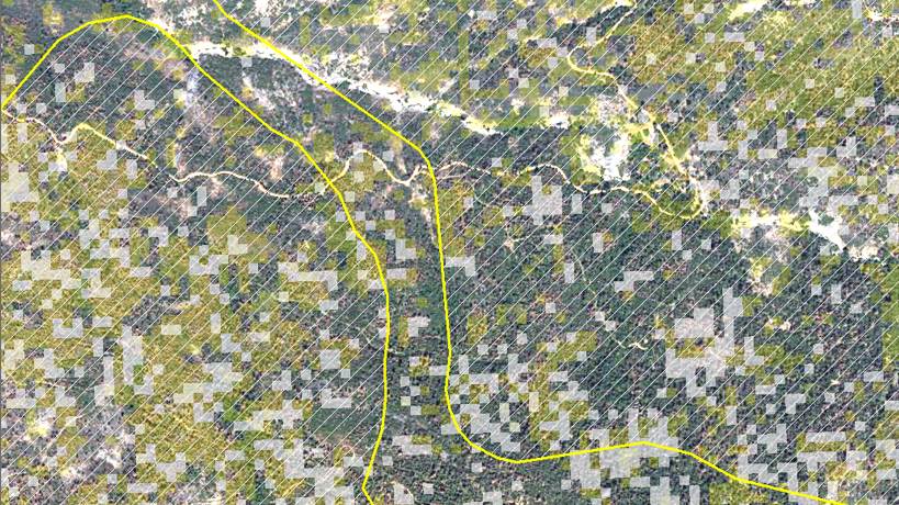
To address this gap of information, our partners in the US Forest Service Region 5 Remote Sensing Lab apply eDaRT (Ecosystem Disturbance and Recovery Tracker) to provide mortality map updates with higher frequency than the current standard 6-12 month step. The eDaRT algorithm, unlike previous generation change detection systems, is designed to process all available images from Landsat, down to a 16-day time step. In this way, forest health status can be monitored frequently and robustly with respect to vegetation seasonality that interferes with disturbance detection. To provide continuous mapping of tree mortality, the current eDaRT version 2.5 requires additional input from a GIS specialist-operator. The fully automated, near real-time, continuous monitoring is planned in a future version, currently in development.